
Walk a Perry Street Record
Begin with one clean street address and keep a log of every date and identifier. Houston County's property roll supplies the bridge between the words on a mailbox and the legal land record. A street directory result becomes more reliable when the current parcel, its adjoining lots, and the recorded deed all point to the same place.
- Search the address in the Houston County property record search. Copy the situs address, parcel number, legal description, owner, and valuation year.
- Open the parcel map. Click the subject parcel and adjoining polygons, including corner lots whose situs may use a cross street.
- Use a deed book and page from the parcel card, or search the present owner as grantee in the county real-estate index. Record the grantor and legal description.
- For a lawful street-level voter list, order the proper file from Georgia election officials. My Voter Page is only an authenticated self-lookup.
- For past occupants, ask the Perry library whether a volume has a reverse section arranged by street and house number.
This chain prevents a common error: treating the owner's mailing address as the location of the land. It also separates modern ownership from older occupancy. A directory by street is a set of dated findings, not one timeless household list.
Search Perry Streets in qPublic
The Houston County Tax Assessors Office directs the public to Schneider qPublic. The office establishes property value, while the Tax Commissioner separately bills and records tax payments. The assessor can be reached at 478-218-4750, and Mapping/GIS at 478-218-4770. Web viewing is free; the office is the fallback when a parcel cannot be found or a field needs explanation.
| Search control | Input | Best street-directory use |
|---|---|---|
| Owner Name | Surname or entity | Find parcels tied to a known owner |
| Location Address | Situs street address | Start a by-address search |
| Parcel Number | Unique parcel key | Return to the exact land record |
| Legal Description | Subdivision, lot, or land-lot text | Bridge changed addresses |
| Map | Parcel geography | Inspect adjoining lots |
The parcel card may show owner mailing and situs addresses, parcel and map references, legal description, class, values, building facts, sales, and exemption information. Homestead marked “Yes” supports an owner-occupancy inference for that tax year, but it does not prove who else lived there.
The official assessor page shows the county route captured below. That route remains useful if the vendor interface changes.
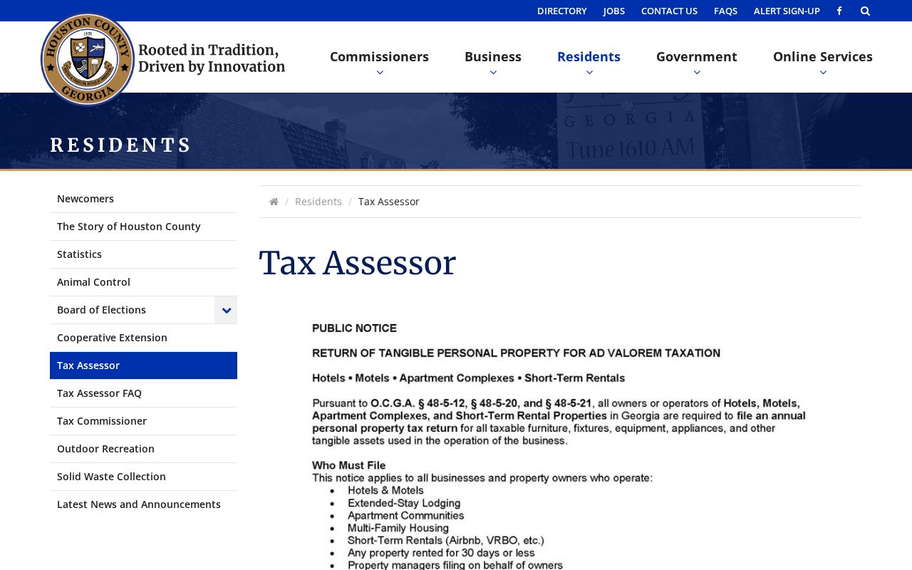
The county page connects the public portal with staff contacts, which is important when a street spelling or parcel boundary blocks a web result.
Note: qPublic is a tax map, not a boundary survey, and no Houston-specific radius or buffer tool was verified.
Perry Address Terms That Matter
Three address types can appear beside one parcel. Keeping them distinct is essential when a Perry street directory search crosses old deeds, current tax files, and postal records.
- Parcel
- A tract tracked by the assessor under a unique parcel number.
- Situs address
- The physical location assigned to the taxable property.
- Plat
- A recorded survey drawing that identifies lots, blocks, dimensions, and subdivision references.
- Criss-cross directory
- A directory section arranged by street and house number rather than surname.
A legal description can use a land lot, district, subdivision lot, plat, or metes-and-bounds wording. That text often survives when a house number changes. Owner mailing is only the destination for tax correspondence and may be a post office box, business, trustee, or care-of address.
Follow Perry Addresses Into Deeds
Deed research begins after the parcel is known. The Houston County Clerk of Superior Court Real Estate Division records deeds, security deeds, liens, plats, trade names, and related instruments. Search by party name, instrument type, book and page, file number, or date range. A grantor gives an interest; a grantee receives it.
The GSCCCA real-estate index guide explains the statewide county index used for Houston records.
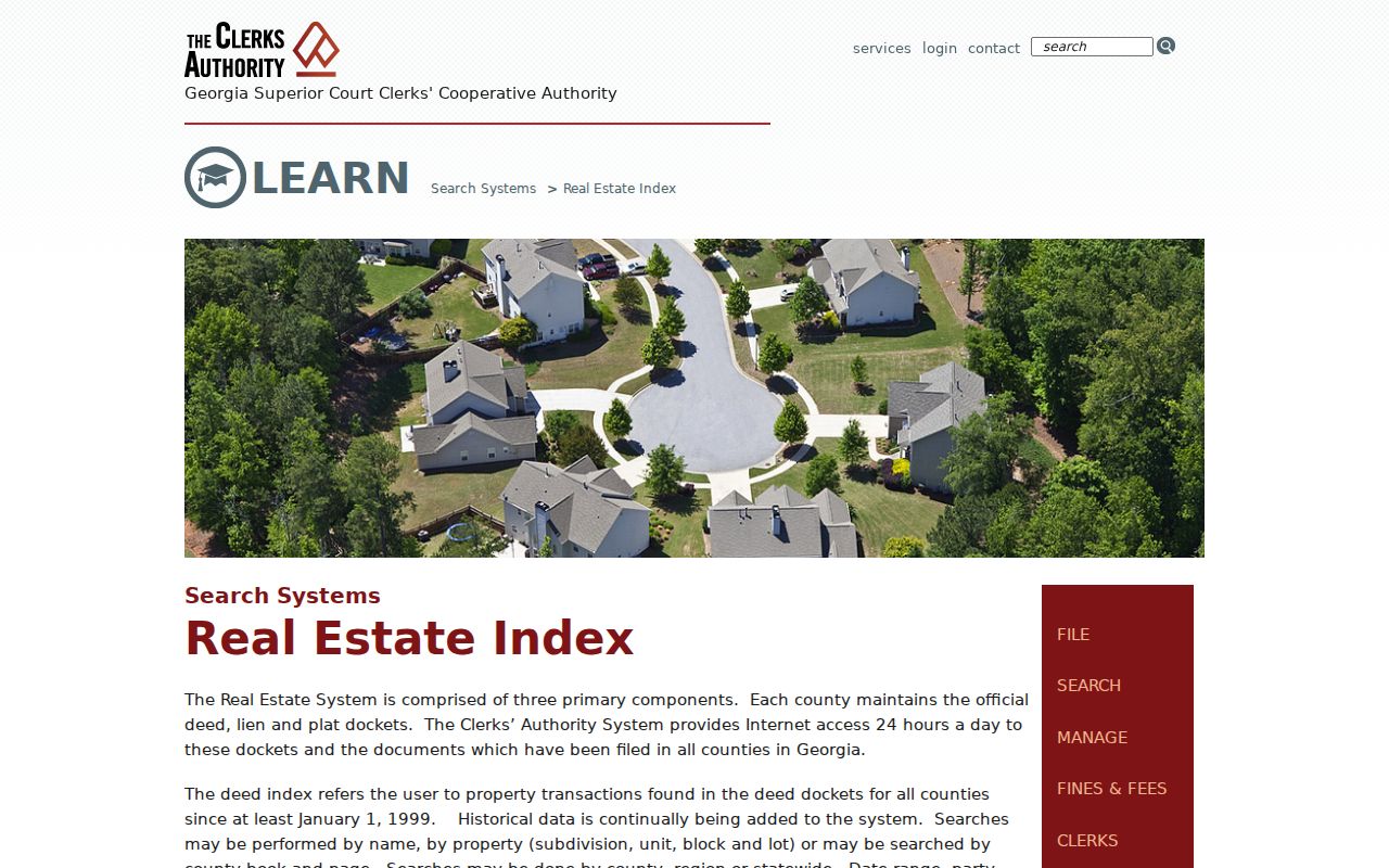
The index is party based, so the parcel card's owner and book/page references are more dependable than typing a raw street address.
Repeat the chain backward: inspect the present acquisition deed, record its grantor, then search that seller as an earlier grantee. Keep the legal description and referenced plat beside each result. All Houston plats have required electronic filing since January 1, 2017, but older books may need a counter search.
The official online cutoff is not published. Call Real Estate at 478-218-4720 or visit the clerk at 201 N. Perry Parkway, weekdays 8:30 to 5:00. Standard copies are listed at $1. Certified copies cost $2.50 for the first page and $0.50 for each added page.
Perry Records Arranged by Address
No single street directory includes all Perry occupants. Each source names a different role, on a different date, and each has an online or offline access route.
| Address record | Record keeper | Evidence | Access route |
|---|---|---|---|
| Assessment parcel | Houston Tax Assessor | Owner, situs, mailing, parcel, values, improvements | qPublic or assessor office |
| Parcel map | Houston Mapping/GIS | Roads, parcel shapes, adjoining tracts | qPublic map or phone |
| Deed, lien, plat | Superior Court Clerk | Parties, legal land, book/page, prior transfers | GSCCCA, clerk terminal, bound books, copies |
| Permit or plan | Perry Community Development | Project address, applicant, work, status, inspections | CSS, email, or 741 Main counter |
| Voter file | Georgia SOS and Houston Elections | Public elector residence fields | Paid lawful list order |
| Historic directory | Golden Room or museum | Listed adult or business, if the volume covers the year | In-person holdings check |
Tax bills come from the Tax Commissioner, not the assessor. Permit applicants may be owners, contractors, or agents. Registered electors do not represent children, unregistered adults, or people whose addresses are protected. Those limits should remain attached to every exported row.
Perry Street Liens and Plats
A lien result can connect parties, property location, and a book/page citation. It does not by itself prove ownership or occupancy. The GSCCCA lien-index guide describes the index and its search model.
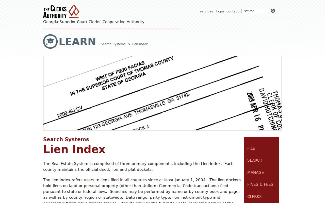
The result's book and page can lead to the recorded instrument at the Houston clerk, where a plain or certified copy can be requested.
Plats solve a different problem. They tie a street lot to a survey and legal subdivision plan. When a deed omits a modern house number, match its lot, block, land lot, and plat reference to the present parcel card rather than forcing a weak address match.
Perry Permits Add Address Dates
Perry Community Development keeps permits and planning files at 741 Main Street. Citizens Self Service supports public searching by address or parcel, record number, and permit, plan, or inspection module. Account login is needed for filing, not for every public inspection. Completed forms may also go by email or to the counter.
Results can show record number, project address, applicant or contractor, work description, application and issue dates, status, and inspections. These fields date work at a property. They do not prove that an applicant lived there. Planning files also cover plats, zoning, historic-district certificates, annexation, subdivisions, land disturbance, and other site actions.
If a code or permit file is not posted, send a narrow request to the Perry City Clerk through the web form or cityclerk@perry-ga.gov. Under the Georgia Open Records Act, the city normally must produce the record within three business days or give a written schedule, cost estimate, and legal basis for withholding.
Perry Voter Streets Need a File
Georgia My Voter Page checks one voter's registration through identity fields. It is not a public street-browse screen. A street directory made from voter data requires a lawfully ordered list, then a filter on residence street, unit, city, and ZIP.
The purchased record can include the elector's public name, residence address, district and precinct fields, status, registration date, mailing fields, and participation history. Participation says only that a person took part, never how anyone voted. Georgia bars commercial use of elector lists under O.C.G.A. §21-2-601.
Protected addresses. VoteSafe shields eligible voters under qualifying protective orders or in family-violence shelters, so a missing address must never be treated as proof of absence.
Macon and Meeting Street Directories
An official Perry environmental study offers rare proof that historical directories were used for exact-address research. The consultant reviewed sampled editions from 1966 through 2016 around Macon and Meeting Streets. The study reported no earlier directory records for that study area, but it did not establish a complete annual run for the whole city.
Ask the Judith A. Golden Local History Room whether a Perry volume contains a reverse section and which years are on the shelf. Exact holdings are not cataloged online. If the task is the collection itself rather than a modern street, the Perry Directory Book page follows the verified historical sources in depth.
Search old streets with abbreviations, initials, and name variants. An entry marks the adult or business that was listed during a canvass. It is not a complete roster and is not legal proof of ownership.
Perry Streets Cross Record Lines
Perry's municipal edge reaches across the Houston-Peach county line. A Perry mailing label is not enough to choose a tax assessor or deed clerk. Check the city-limits map, then confirm the parcel polygon in the relevant county system. The same caution applies to the Perry Administrative Post Office, which serves both 31069 and Kathleen 31047.
Older central addresses cluster around downtown's growth in the 1910s and 1920s. Perry Parkway and many outer areas developed much later. Annexation can shift the city office responsible for permits while the postal label remains unchanged. No authoritative citywide street-renumbering date was found, so do not claim one.
Note: Use a parcel number and legal description as continuity keys when street names, postal labels, or government boundaries create doubt.
Limits of Perry Street Lookups
The property roll names owners, not renters or every person at an address. A homestead field is useful but not conclusive. Deeds show legal parties, permits show applicants, and a historic directory shows only the people or firms listed for its canvass date. None is a live household census.
DMV and private delivery data are not substitutes for public street records. Private rosters and protected addresses remain private. Use official records for family history, parcel research, a deed check, or civic curiosity, and retain each source date so an old entry is not presented as current.
Lawful use. Perry address records are available for lawful personal research. Georgia law does not permit using them to stalk, harass, threaten, or intimidate anyone.